Discover the remarkable evolution of Oude Chardonnay Estate through a captivating satellite imagery narrative. Spanning from 2005 to the latest available images, this visual journey showcases the transformation of our Southern Paarl community, from its early beginnings to a thriving residential estate with 188 homes nestled amidst the stunning Drakenstein and Franschhoek Mountains. Explore how our vibrant community has grown, blending modern living with Paarl’s natural beauty.
(Images Courtesy Google Earth)

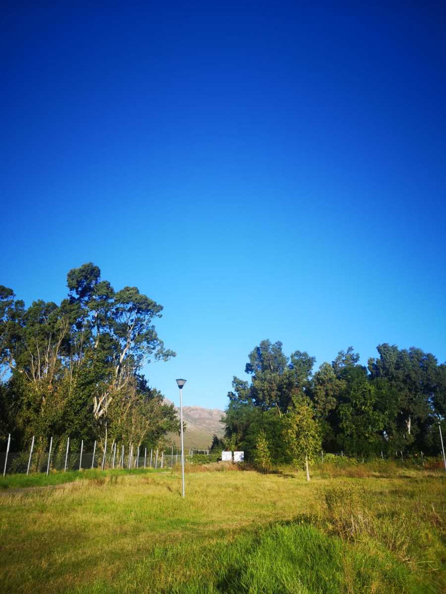
The Transformation of the Dam
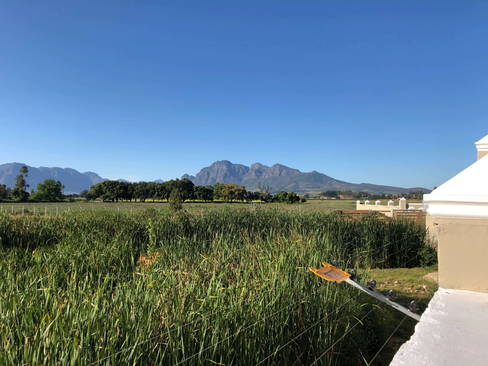
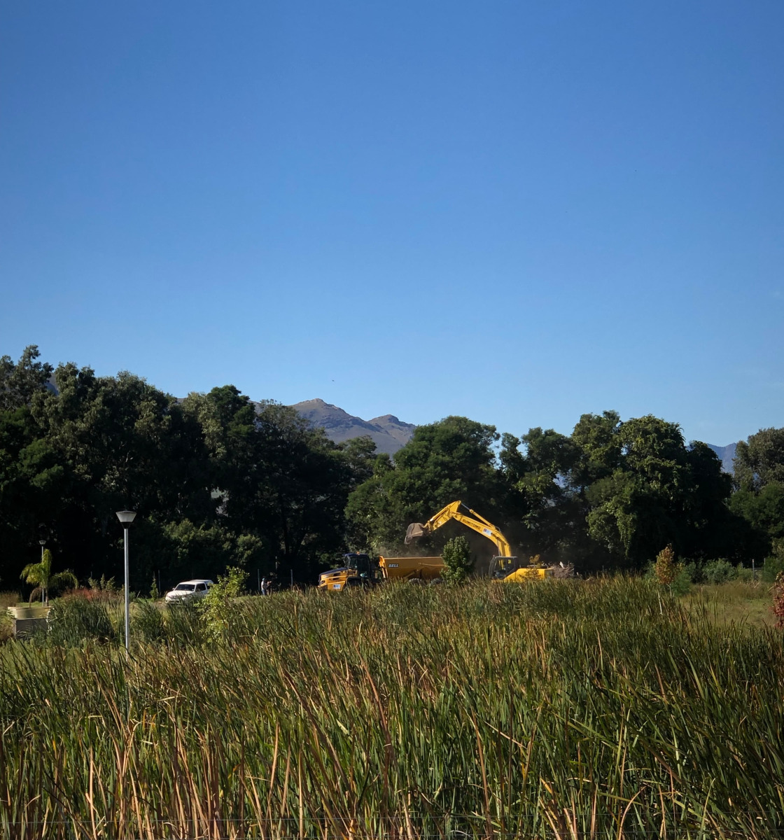
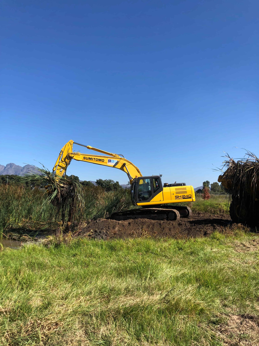
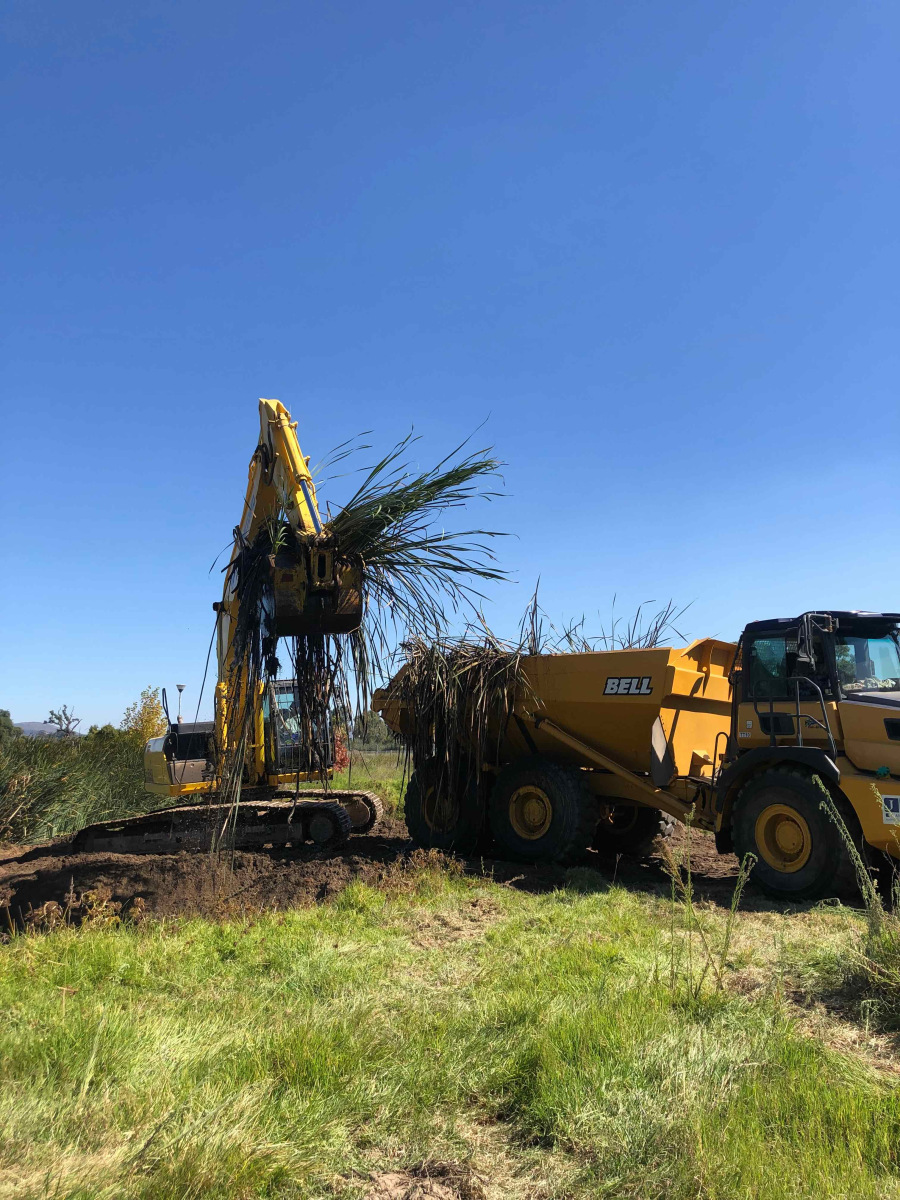
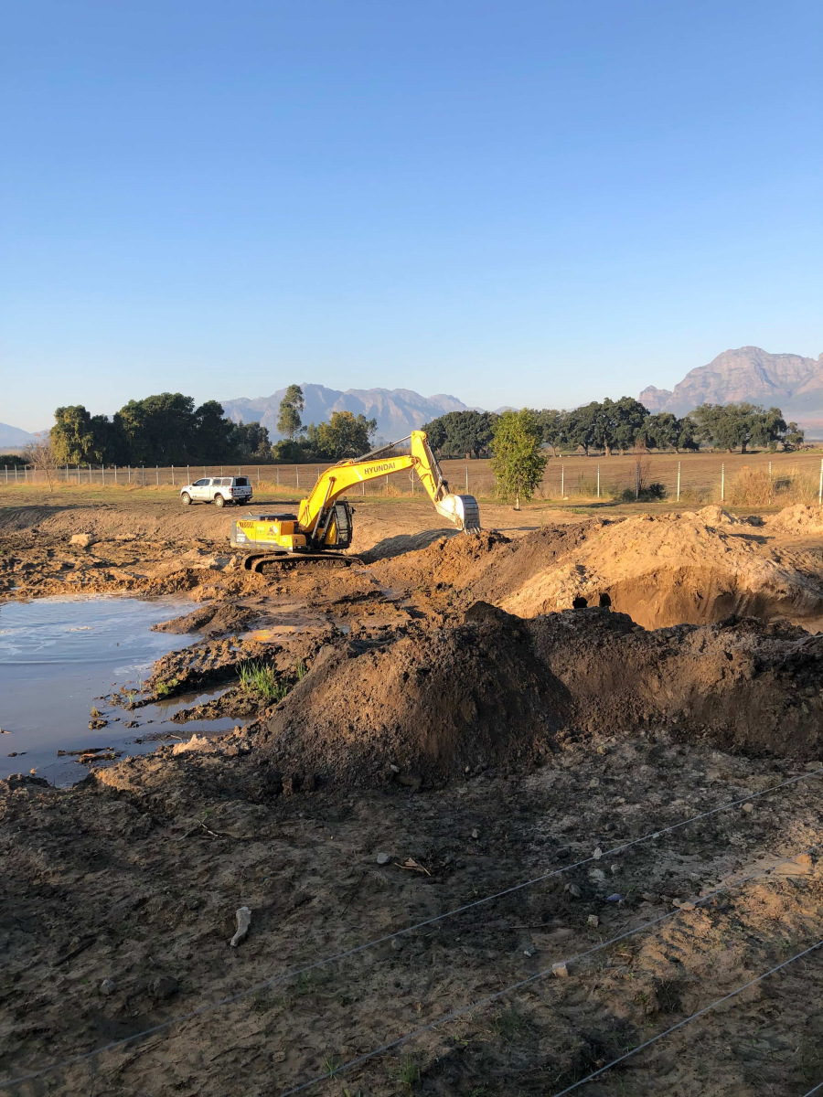
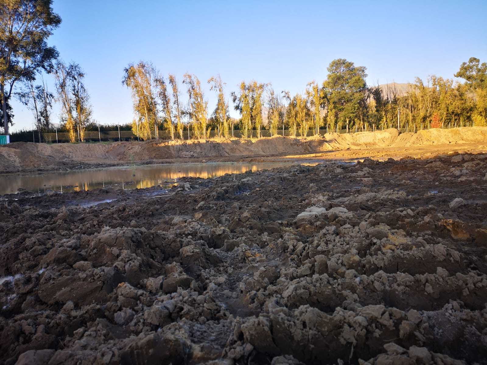
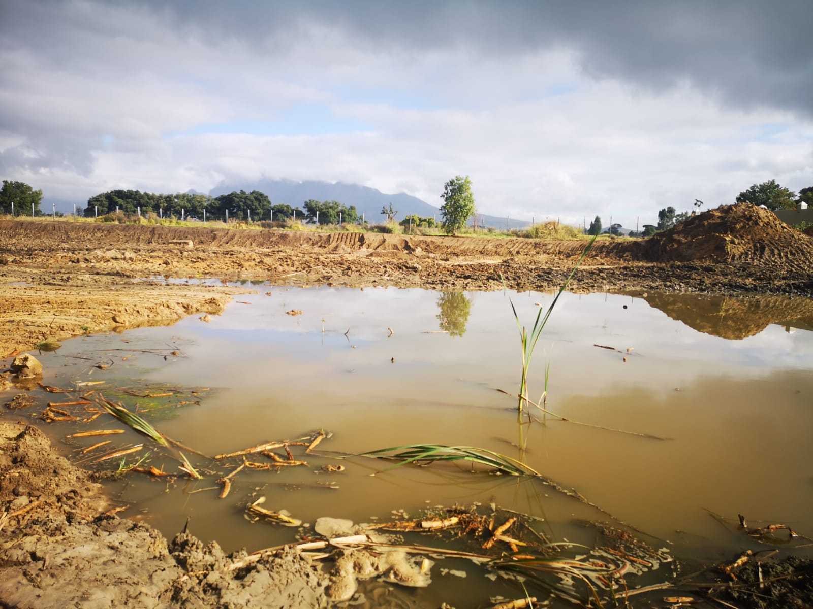
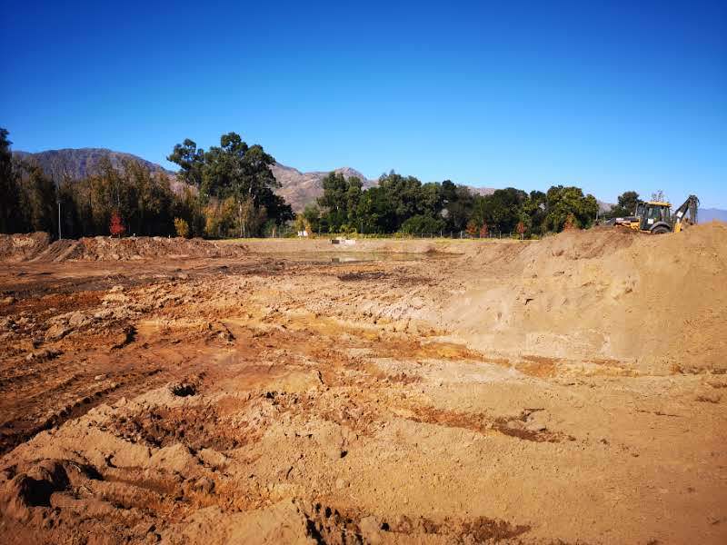
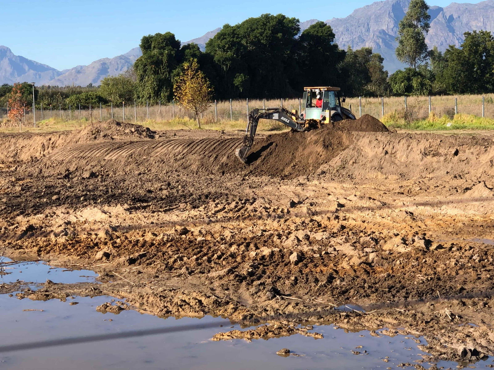
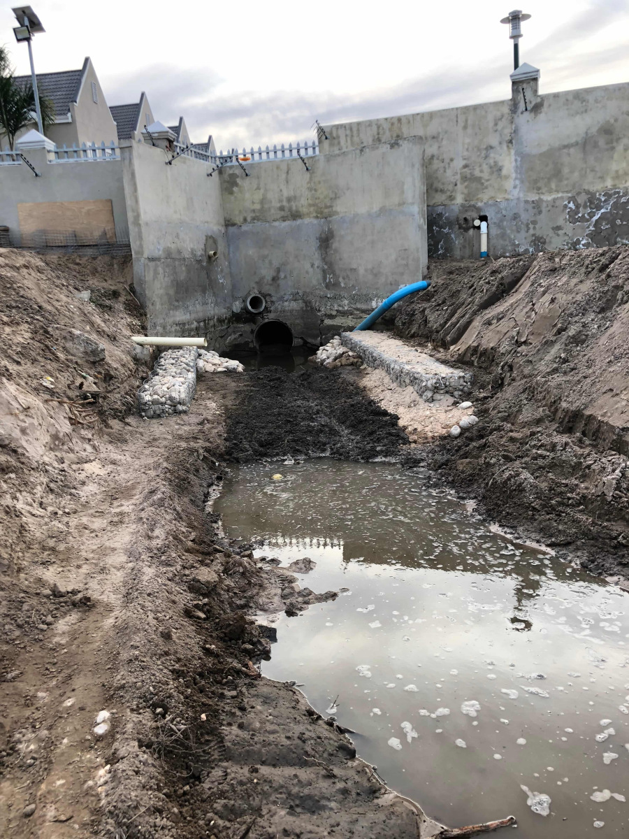
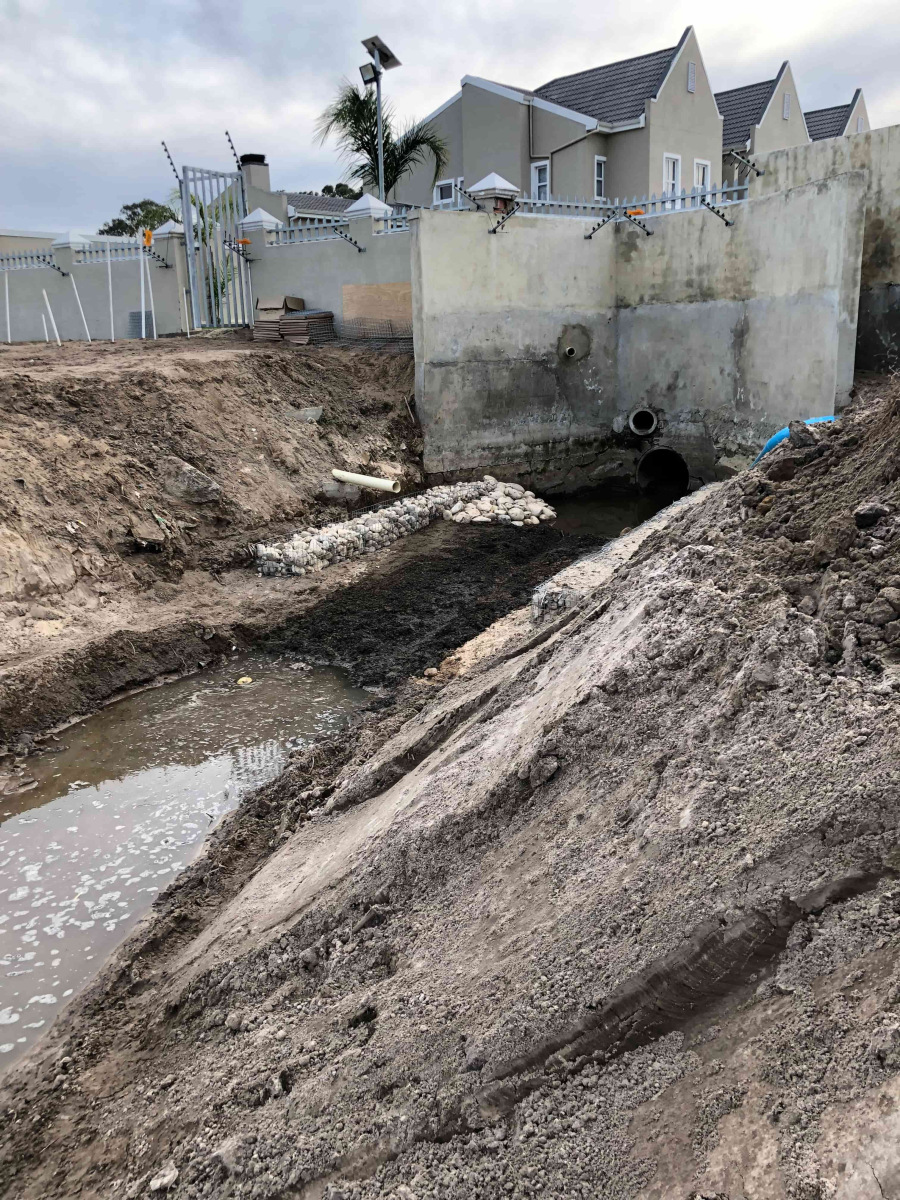
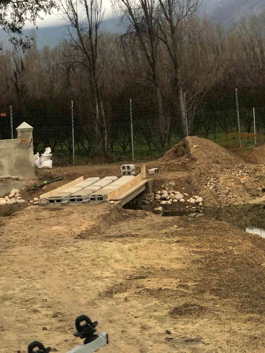
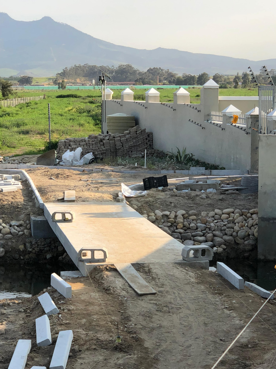
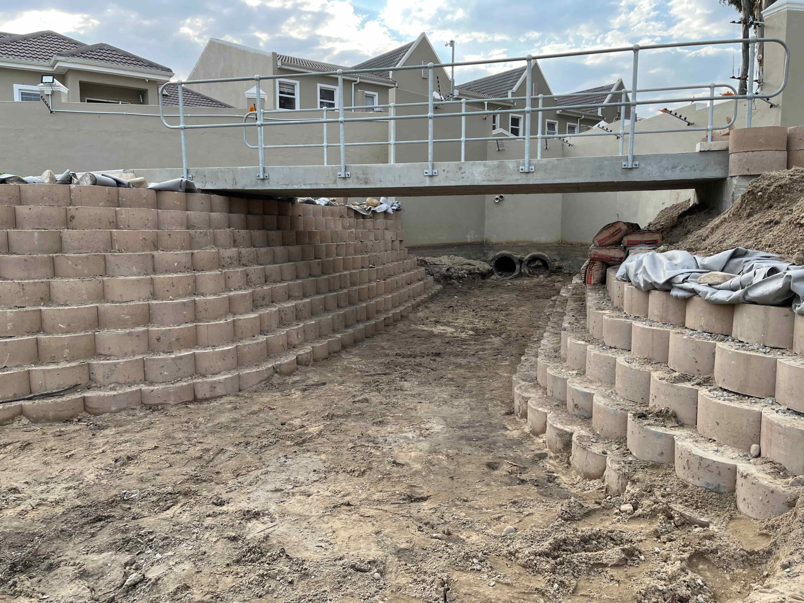
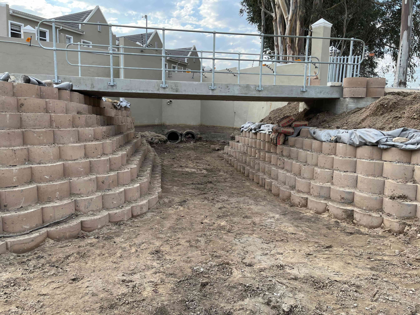
The initial development of the Estate was, and continues to be, governed by a stormwater catchment area prior to the discharge of stormwater into the Berg River. To fulfil this requirement, the park and dam area was established with an initial pond (as evidenced by the satellite history), which subsequently evolved into multiple ponds. Within a five-year period, these ponds became overgrown with cattail or sometimes called bulrush reeds, resulting in an impasse that necessitated a cleanup operation.

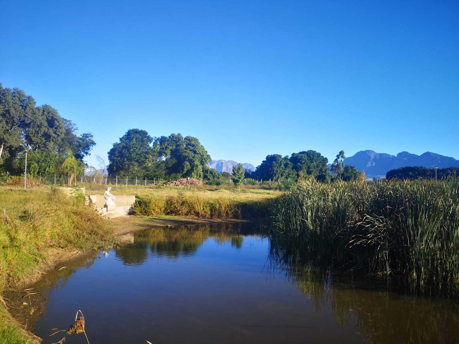
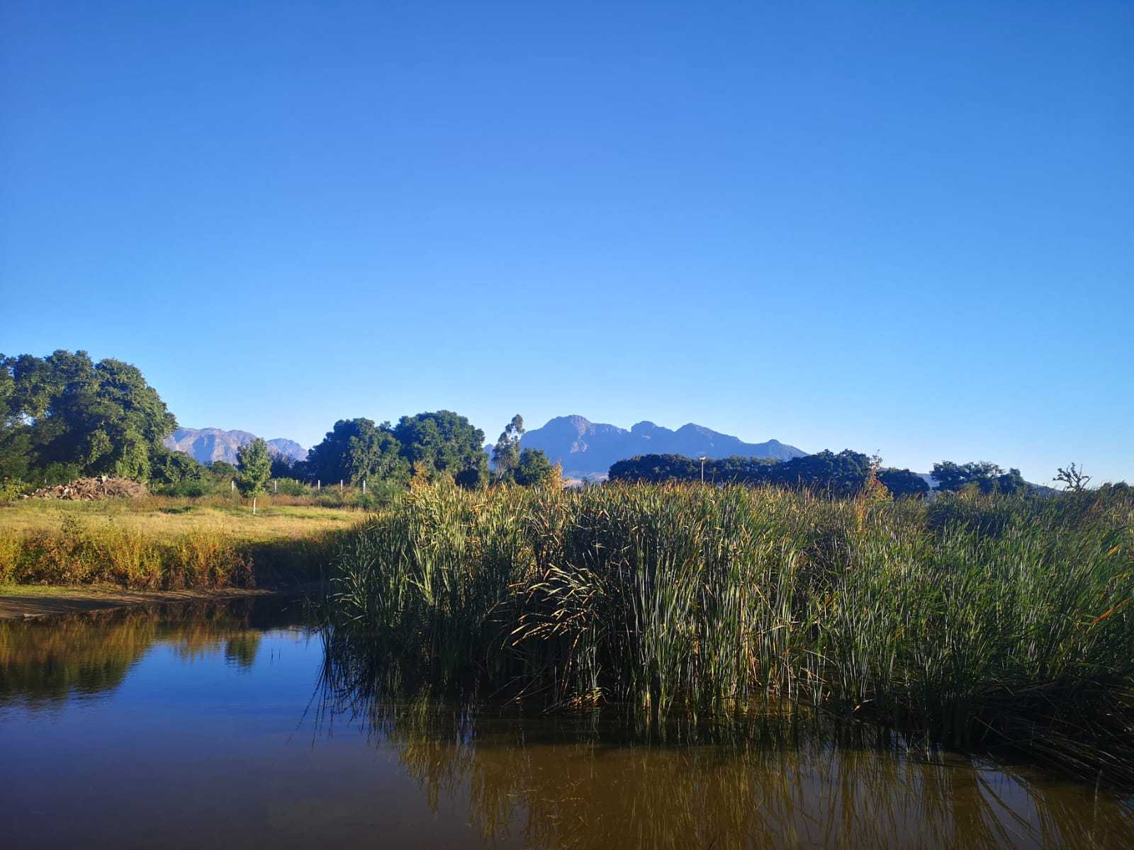
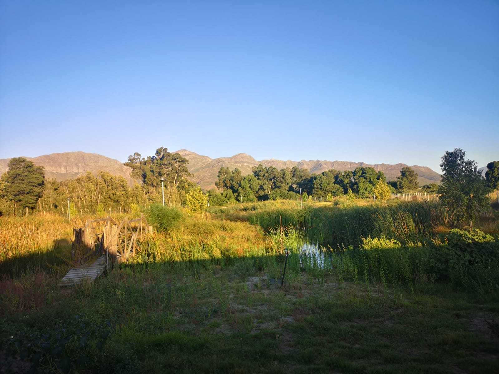
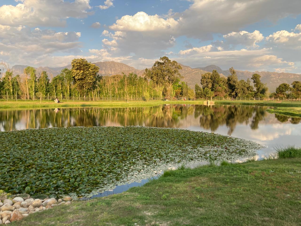
As the cleanup operation commenced and progressed, the concept of merging the individual ponds into a unified body emerged, presenting the added advantages of accommodating a larger volume of stormwater, enabling catch and release fishing, and creating a tranquil atmosphere. This concept was implemented and refined with the addition of laterite paths, which facilitate walking, jogging, and cycling within the park area.
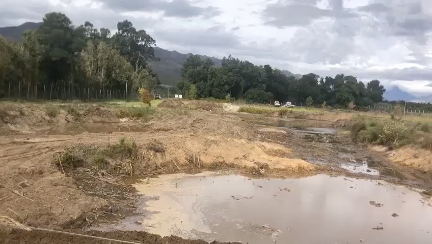
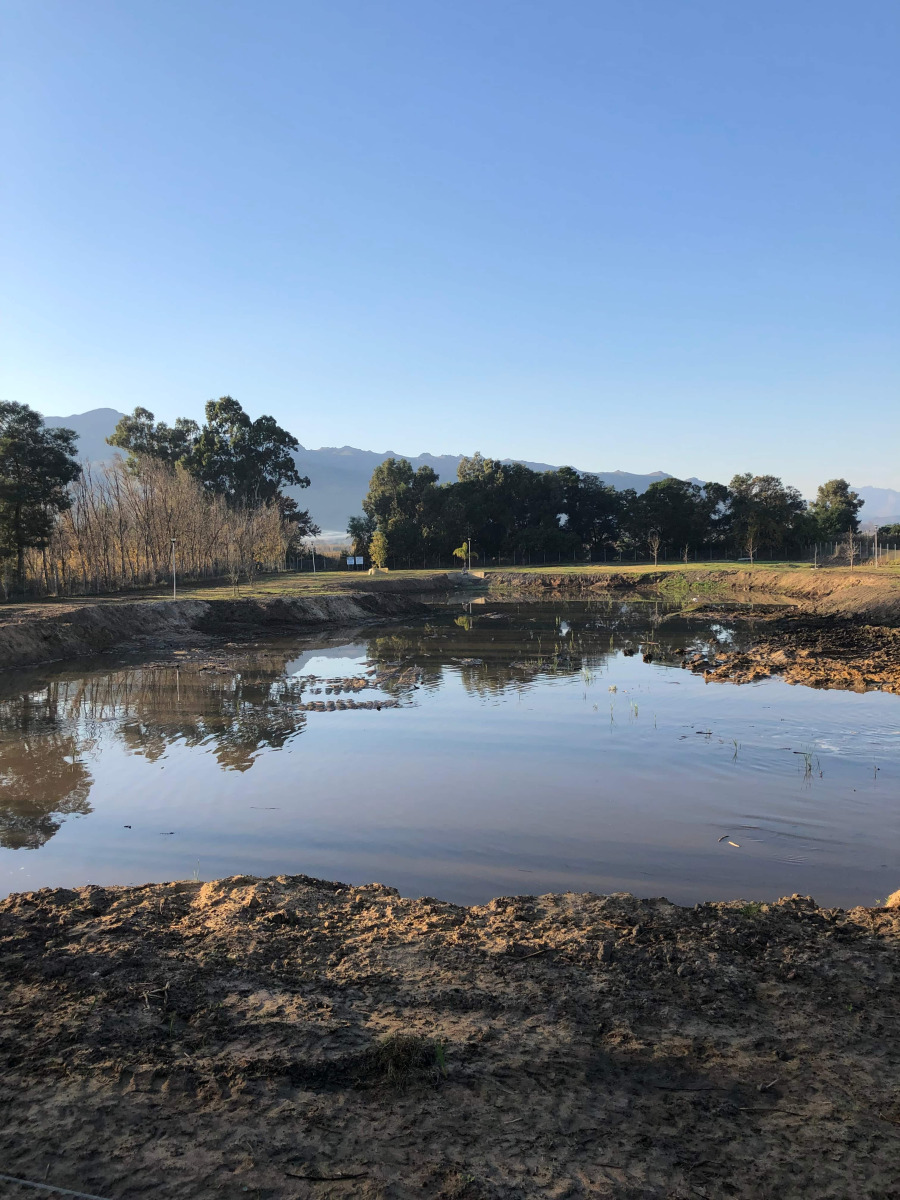
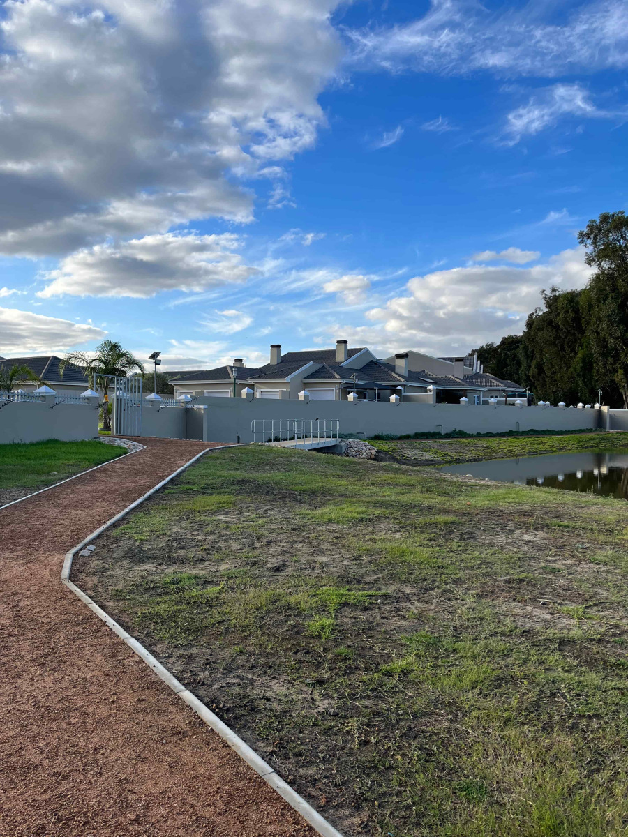
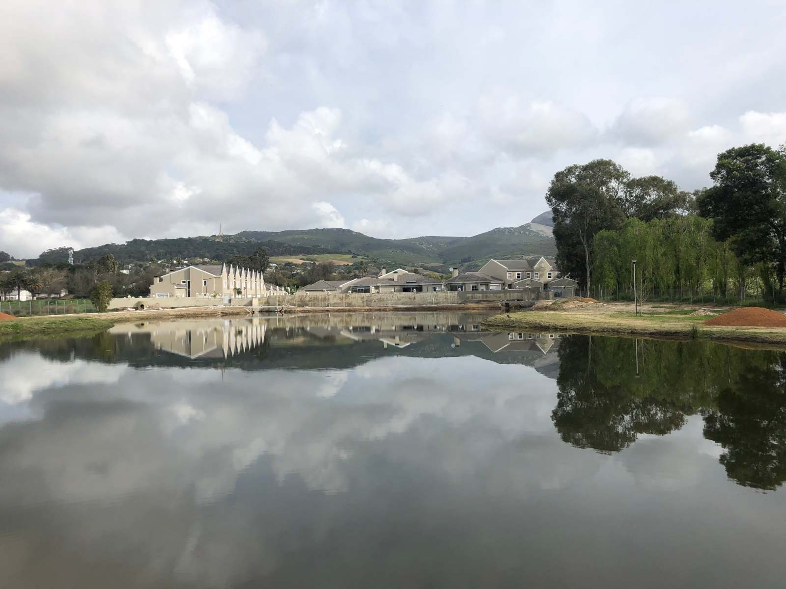
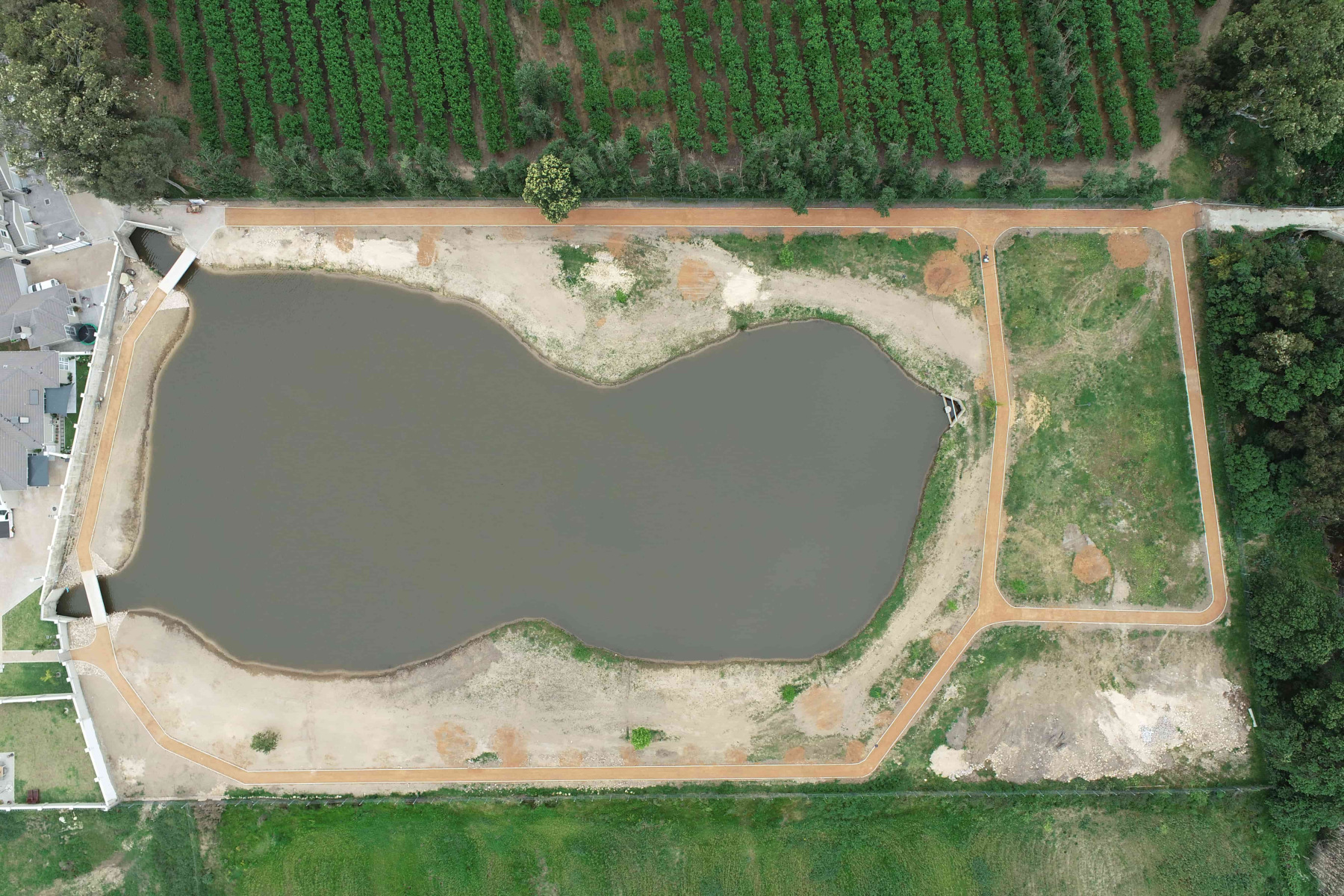
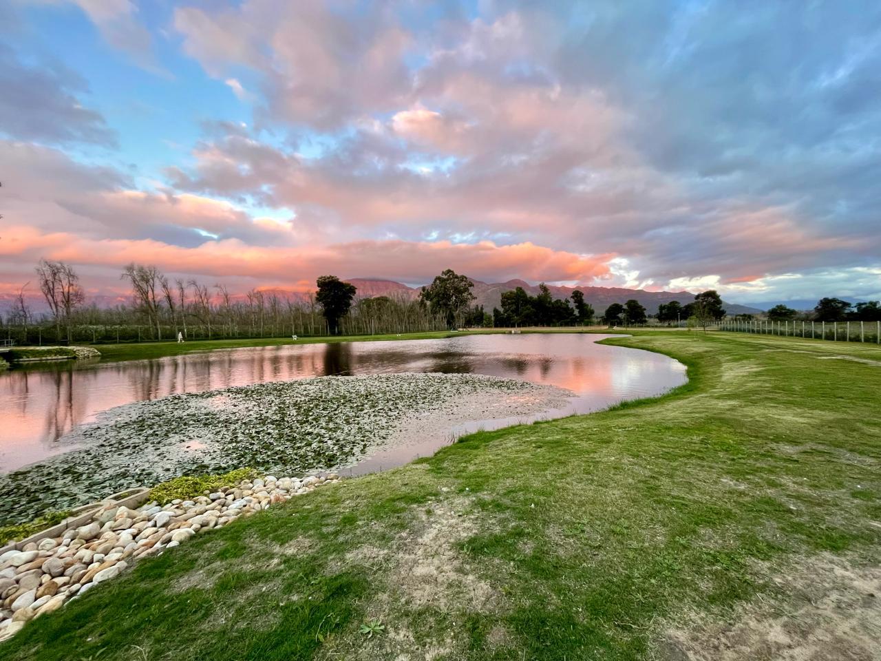
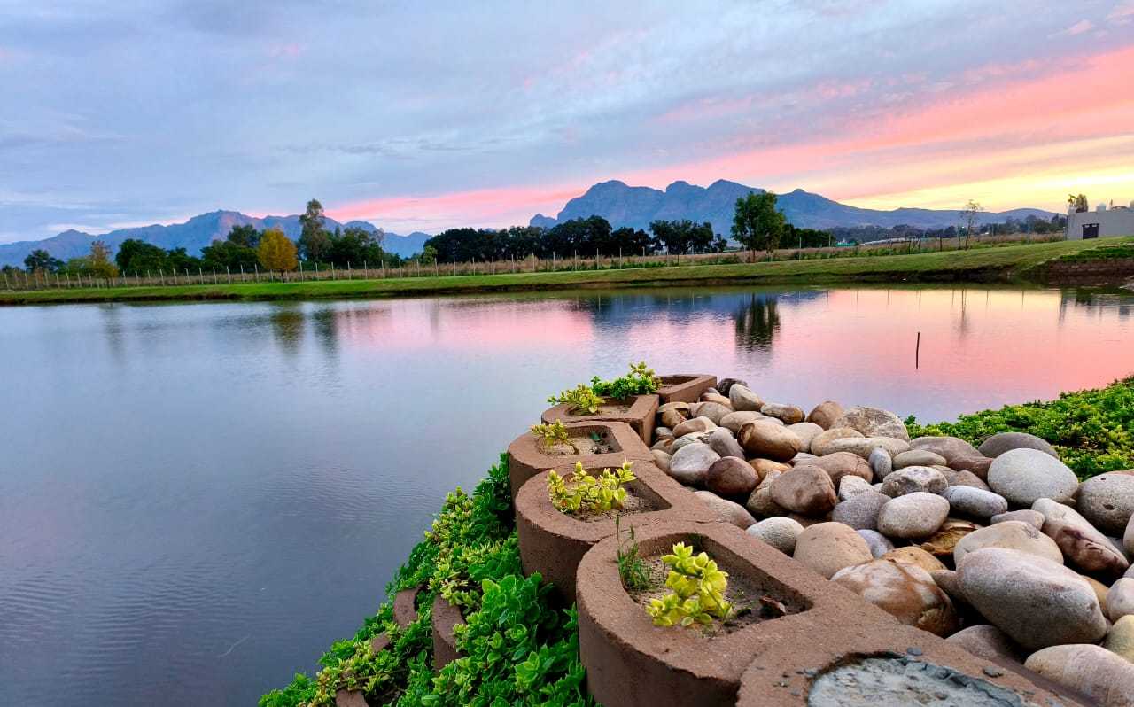
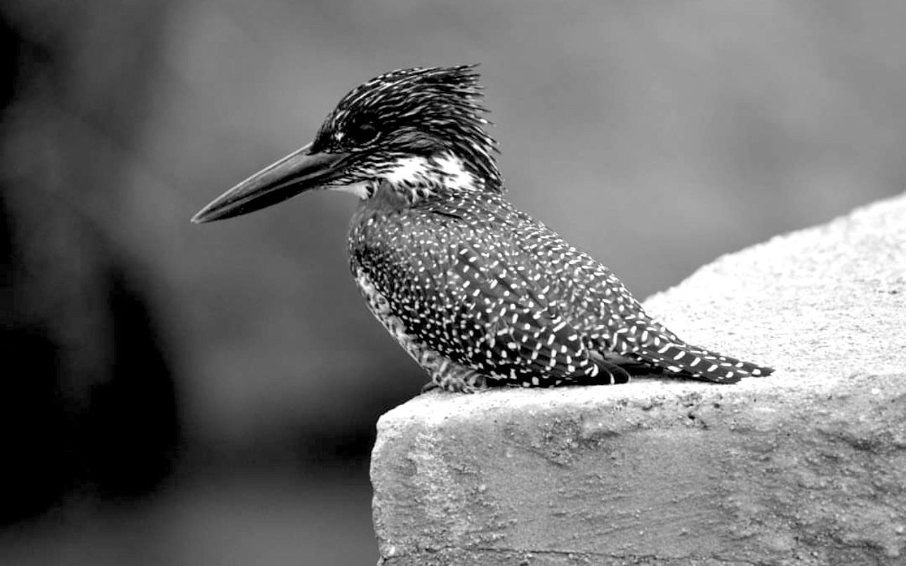
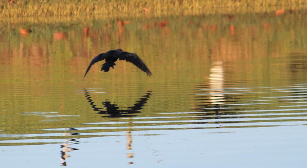
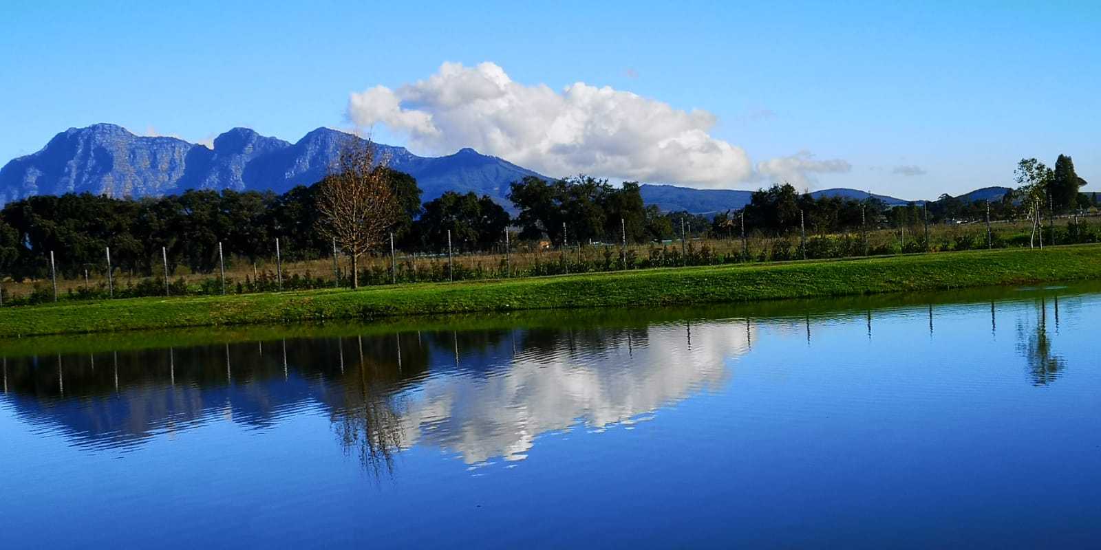
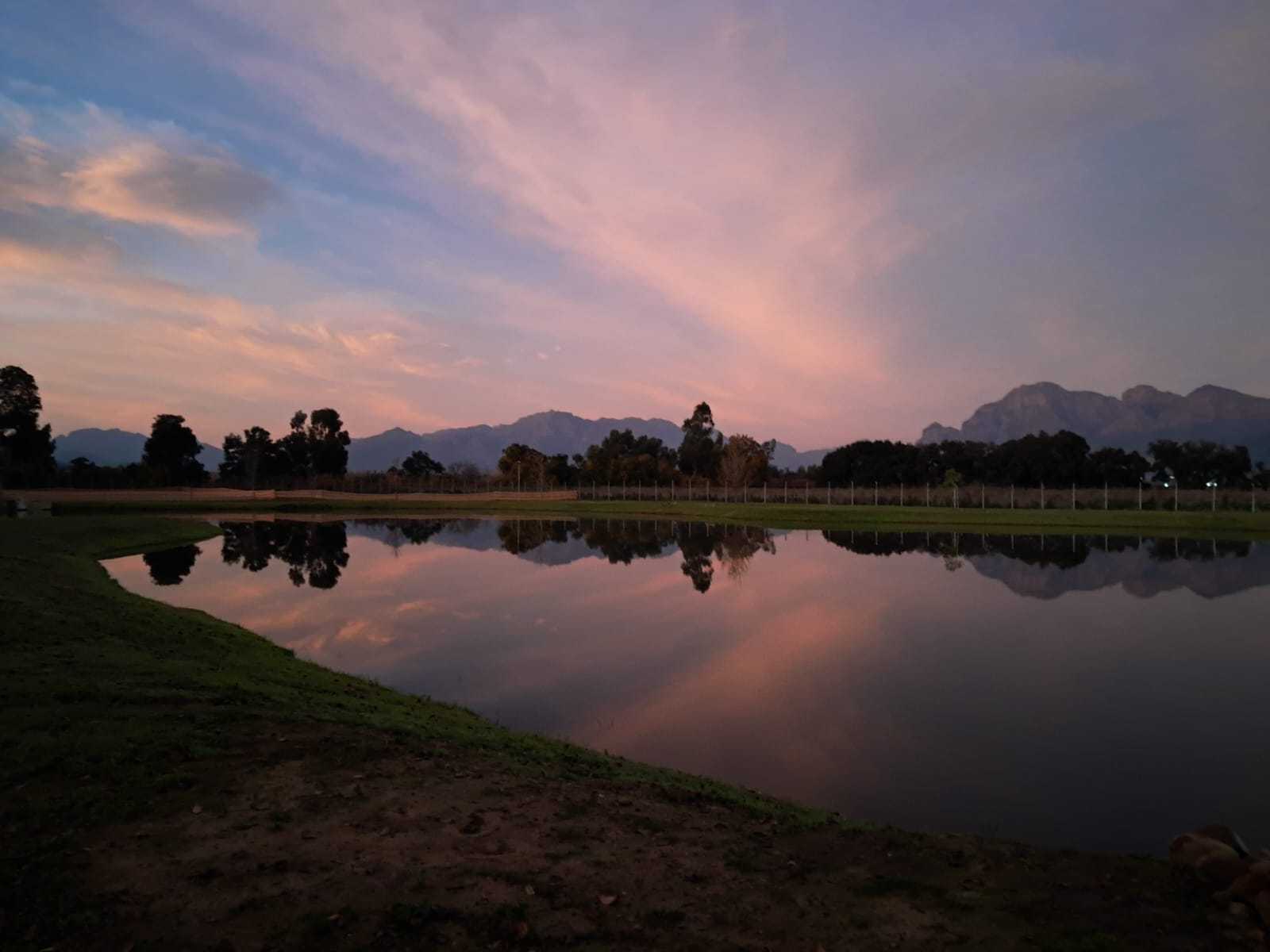
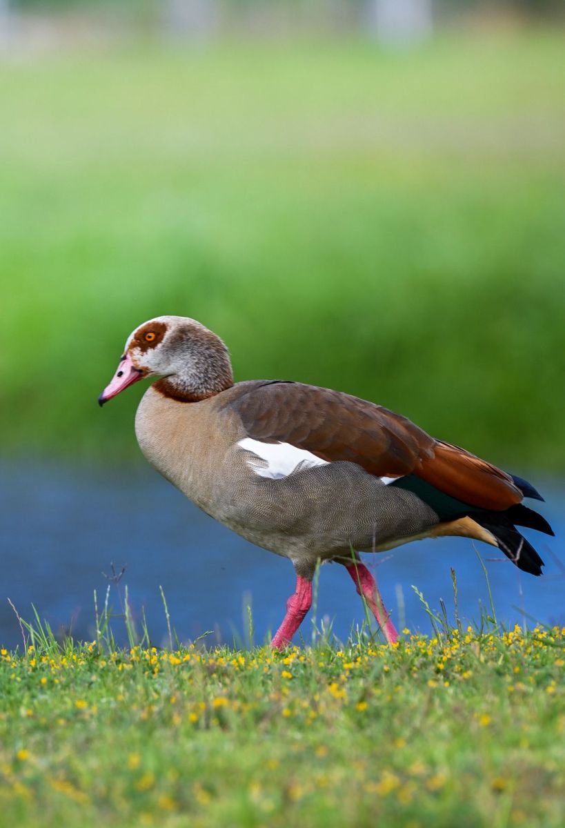
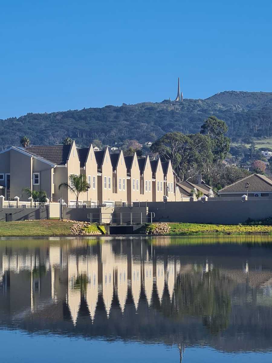
The following images underscore the beauty, serene ambiance, and enhanced value proposition that the Park and Dam area imparts to the Oude Chardonnay Estate. This project remains in a state of development, with further enhancements anticipated for the future.